Lake Norman Professional Services
- Uncategorized



There was a time when traveling from one side of the Catawba River to the other was not as simple as getting into a car and crossing a bridge. Long before Lake Norman became the centerpiece of our region, the river shaped everyday life. It provided water, supported farms and businesses, and served as both a boundary and a connection between the people who lived along its banks.

For families in what would become Huntersville, Cornelius, Davidson, Mooresville and the communities west of the river, transportation required patience and planning. Roads were often dirt paths, river crossings depended on water conditions, and a trip to a neighboring community could take considerably longer than it does today.
Yet these early roads and crossings helped shape the communities we know today. They connected farms to markets, families to churches, children to schools and neighbors to one another. Some of those routes remain familiar names on today’s maps. Others disappeared beneath the waters of Lake Norman.
In the 1700s, settlers moving west across the Catawba River looked for shallow places where people, horses and wagons could cross safely. These places were called fords.
Among the best-known were Sherrill’s Ford, Beatty’s Ford and Island Ford.
In 1747, Adam Sherrill and his eight sons crossed the Catawba River and settled on its western side. By 1749, John Beatty had also crossed the river. The crossings associated with these early settlers eventually carried their names, and those names became part of the identity of nearby communities.
Before bridges and paved highways, these fords were important gateways into the growing settlements west of the river.
As settlement expanded, roads developed to connect river crossings with farms, churches, mills and neighboring communities.
Beatty’s Ford Road became one of the region’s most recognizable historic routes. Other roads connected the rural settlements around Huntersville, Davidson, Cornelius and Mooresville with markets and communities farther away.
These were not the paved highways we know today. Many were dirt or gravel roads, difficult to travel after heavy rains. Wagons carried farm products to market, horses provided transportation, and families traveled by whatever means they had available.
The location of a road or river crossing could influence where a store opened, where a church was built and where families chose to settle.
Where the river was too deep or dangerous to cross on foot or horseback, ferries provided another option.

Throughout early North Carolina, privately operated ferries carried people, horses, livestock and wagons across rivers. Some used flat-bottomed boats large enough to carry passengers and their belongings. Ferry operators often charged a fee for the crossing.
For rural families, ferries could make the difference between a difficult journey and a practical one. Farmers needed access to mills and markets, while families crossed rivers to visit relatives, attend church and conduct business.

One well-known example in Mecklenburg County was Rozzelle’s Ferry, which operated on the Catawba River for generations. Although more research is needed to identify the individual ferry operations serving the immediate Lake Norman communities, these crossings were an important part of the region’s early transportation story.
As communities grew and automobiles became more common, dependable bridges became increasingly important.
One of the most significant was the Beatties Ford Bridge, a steel truss structure built in 1916. It carried the old Highway 73 across the Catawba River, providing a dependable connection between communities on opposite sides of the water.
Other bridges served important local routes, including Buffalo Shoals and Unity Church Road.
The bridges were more than engineering accomplishments. They connected people to work, school, church, family and the businesses that supported their communities.
One of the most interesting parts of the old transportation network is the history behind the names. These bridges were not simply given names when they were built. In many cases, they inherited names that had been part of the community for generations.

The name goes back to John Beatty, who crossed the Catawba River in 1749. The crossing became known as Beatty’s Ford, and the road and bridge eventually carried his name. The 1916 steel bridge served the region for decades before being demolished in 1962 as Lake Norman was created. Today, Beatties Ford Road keeps the name of that early settler alive.

The name appears on an 1794 map as McCowan’s Ford. On February 1, 1781, British troops under General Charles Cornwallis crossed the river here while pursuing American forces. General William Lee Davidson was killed during the fighting. More than 175 years later, Duke Power selected this historic location for Cowan’s Ford Dam. The name lives on through the dam and Lake Norman.

Buffalo Shoals takes its name from a natural feature of the Catawba River. A shoal is a shallow area of water, sometimes containing rocks or other obstructions. The precise origin of the word Buffalo has not been firmly established, but the name remains a reminder of the landscape that existed before the lake.
Unity Church Road Bridge– Named for a Congregation

This bridge took its name from nearby Unity Presbyterian Church, whose history reaches back to 1764, when it was known as Beattie’s Meeting House. For generations, the church served families in the rural communities surrounding the river. Before Lake Norman, Unity Church Road connected the church and surrounding countryside with Bethel Church Road in what is now Cornelius. That familiar connection disappeared beneath the rising waters.
The names of these bridges tell us something important about the people who came before us. Some honor early settlers, others recall historic events, and still others preserve the names of churches and communities that helped shape this region.
The bridges may be gone, but the people, places and stories behind their names remain part of our history.
When construction of Cowan’s Ford Dam began in 1959, the region’s transportation network was about to change forever.
Creating Lake Norman required more than building a dam. Roads had to be relocated, bridges removed, utilities moved and properties cleared. Some roads were rerouted or raised, while others disappeared beneath the rising water.
The old Beatties Ford Bridge was demolished in 1962. The Buffalo Shoals Bridge was also removed after a replacement bridge had been constructed nearby. Other familiar roads and crossings were lost as the lake filled.

Today, we cross Lake Norman without giving much thought to what lies beneath the water. We travel over modern bridges and follow familiar highways, enjoying conveniences that previous generations could hardly have imagined.
But the next time you cross the lake, consider what once occupied that space. There were roads carrying farm wagons and automobiles, bridges connecting neighboring communities, and shallow river crossings used by some of the region’s earliest settlers.

The names remain with us: Sherrill’s Ford, Beatty’s Ford, Cowan’s Ford and Buffalo Shoals. Each is a reminder of a time when the river shaped nearly every aspect of life in this region.
Before there was Lake Norman, there were roads to travel, rivers to cross and communities to connect. Those routes helped make this region what it is today.
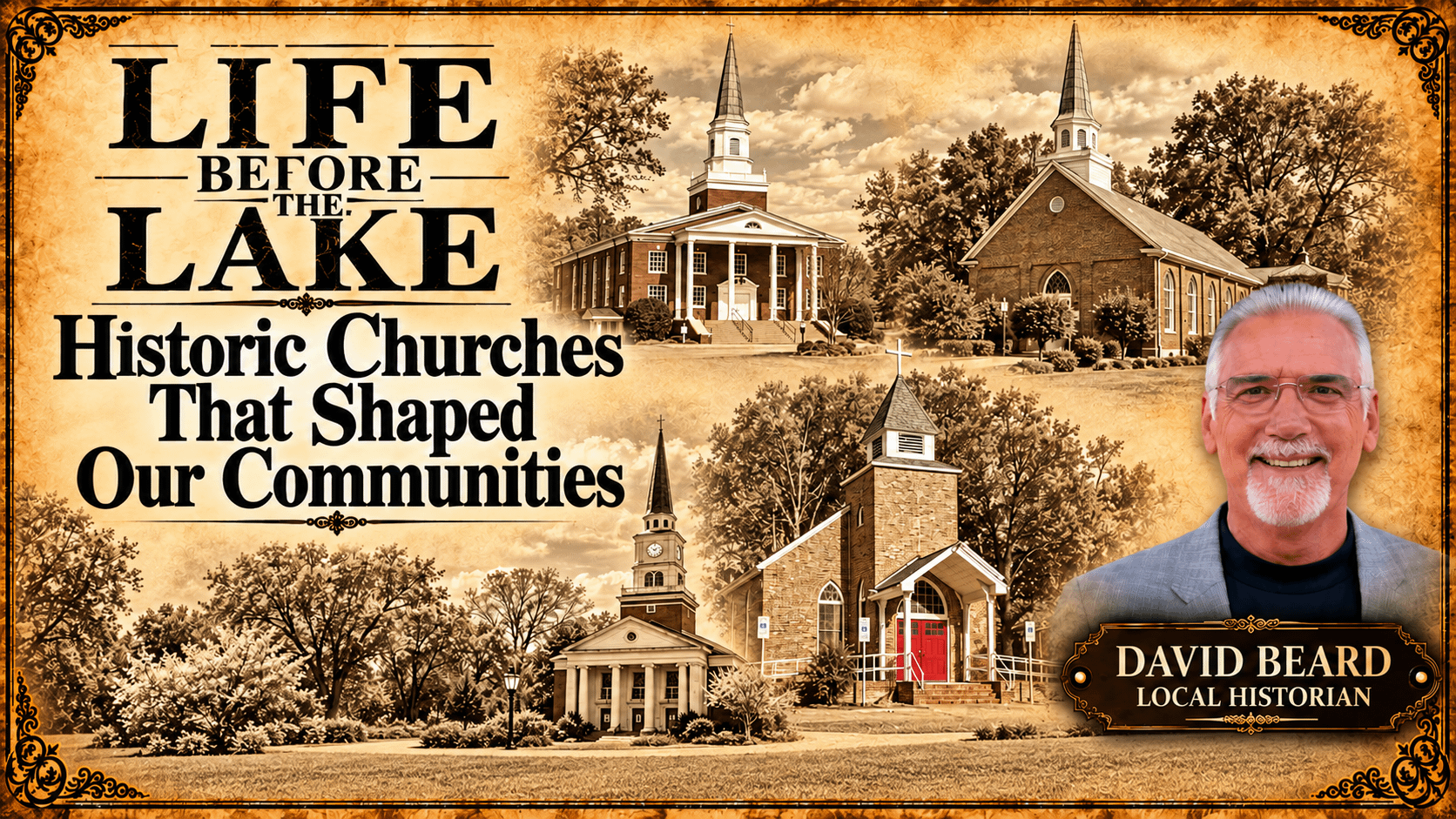
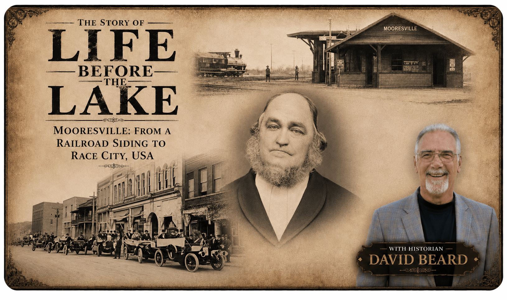
Life Before the Lake is a continuing LKNConnect series exploring the people, places, businesses and events that shaped our communities before the creation of Lake Norman.

As I continue writing the Life Before the Lake series, my hope is that these stories preserve more than dates and names. I hope they preserve the spirit of the people who built our communities through hard work, determination, faith, and perseverance. Every old photograph tucked inside a family Bible, every faded newspaper clipping, every handwritten letter, and every story shared around a kitchen table becomes another piece of our local history.
If your family has photographs, documents, memories, or stories about life before Lake Norman, I would love to hear from you. Together, we can preserve the history of the farms, churches, schools, businesses, and families that laid the foundation for the communities we know and love today. I invite you to follow the Life Before the Lake series on LKNConnect.com as we continue discovering the remarkable stories that existed long before the lake changed the landscape forever.
You can connect with me at Dbeard@Lknconnect.com. Thank you for joining me on this journey.
David Beard